About Us
M-Joey Geo Solutions is one of the most experienced geospatial solutions companies in India, offering a one-stop solution for all geospatial needs in 2D/3D Mapping and Engineering. With a focus on delivering cutting-edge geospatial technology, we provide high-end LiDAR, Photogrammetry, and GIS services to clients in both public and private sectors worldwide.
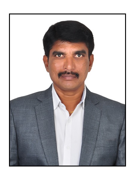
About Suresh Muskula
Suresh Muskula With 16 years of extensive experience in LiDAR technology, I specialize in LiDAR data preprocessing, classification, and feature extraction for 2D and 3D applications. My expertise spans multiple LiDAR platforms, including Airborne (ALS), Mobile (MLS), Terrestrial (TLS), and UAV-based LiDAR systems.
Software Proficiency:
MicroStation | TerraSolid Suite (TScan, TModel, TMatch, TPhoto) | GlobalMapper | TopoDOT | Pix4D | AutoCAD 3D
Core Competencies:
LiDAR Data Classification and Feature Extraction | 3D City Modeling | Ground Surface Models and Flood Mapping | Powerline Classification and Utility Mapping | 2D & 3D Mapping | Orthophoto Generation and Photogrammetry | Road Mapping, Rail Network Analysis, and PLS-CAD Modeling | Contour Generation and Land Surveying | Mobile LiDAR Mapping | Highways, Utilities, and Infrastructure Projects
Deliverables:
Our comprehensive services are designed to deliver precision and quality, ensuring optimal results for our clients.
High-Resolution Aerial Imagery | High-Resolution Ortho-Mosaics | Digital Elevation Models (DEM) | Digital Terrain Models (DTM) | Accurate 3D Contours | Bare Earth Point Clouds| Photogrammetric 3D Point and Line Feature Capture | Volume Calculations for Mines, Quarries, and Landfills | Monitoring of Stockpiles and Material Assets | Watershed Modeling
Feel free to reach out for LiDAR projects, collaborations, or inquiries into how our expertise can elevate your geospatial and engineering initiatives. Together, we can drive innovation and achieve outstanding results.

