Airborne LiDAR Data Processing
Airborne LiDAR Data Processing
Airborne LiDAR Classification is a cost-effective technology for precise measurement of surface features on Earth. Aerial LiDAR data is obtained by mounting a sensor device on an Aircraft or UAV, allowing for data collection over a broader range of terrains. This technology proves invaluable for applications requiring an aerial perspective of extensive areas. Topographic LiDAR employs near-infrared lasers to map terrestrial regions, whileBathymetric LiDAR uses green light capable of penetrating water to map underwater features.
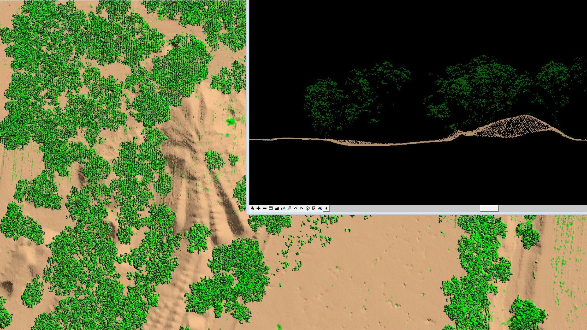
M-Joey Geo Solutions offers ALSData Processing Services tailored to a variety of industries, delivering swift, high-density, and precise data solutions. Our services include feature classification for Transmission and Distribution Powerlines, Ground, Buildings, Roads, and other features. Besides specialize in generating Contours, DEMs (Digital Elevation Models), DSMs (Digital Surface Models), DTMs (Digital Terrain Models), and the extraction of 2D and 3D features with the utmost accuracy.
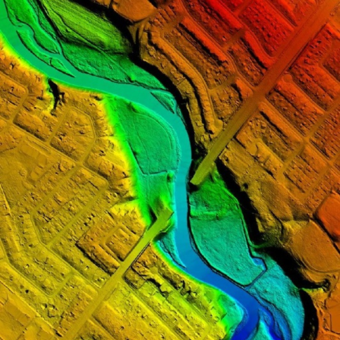
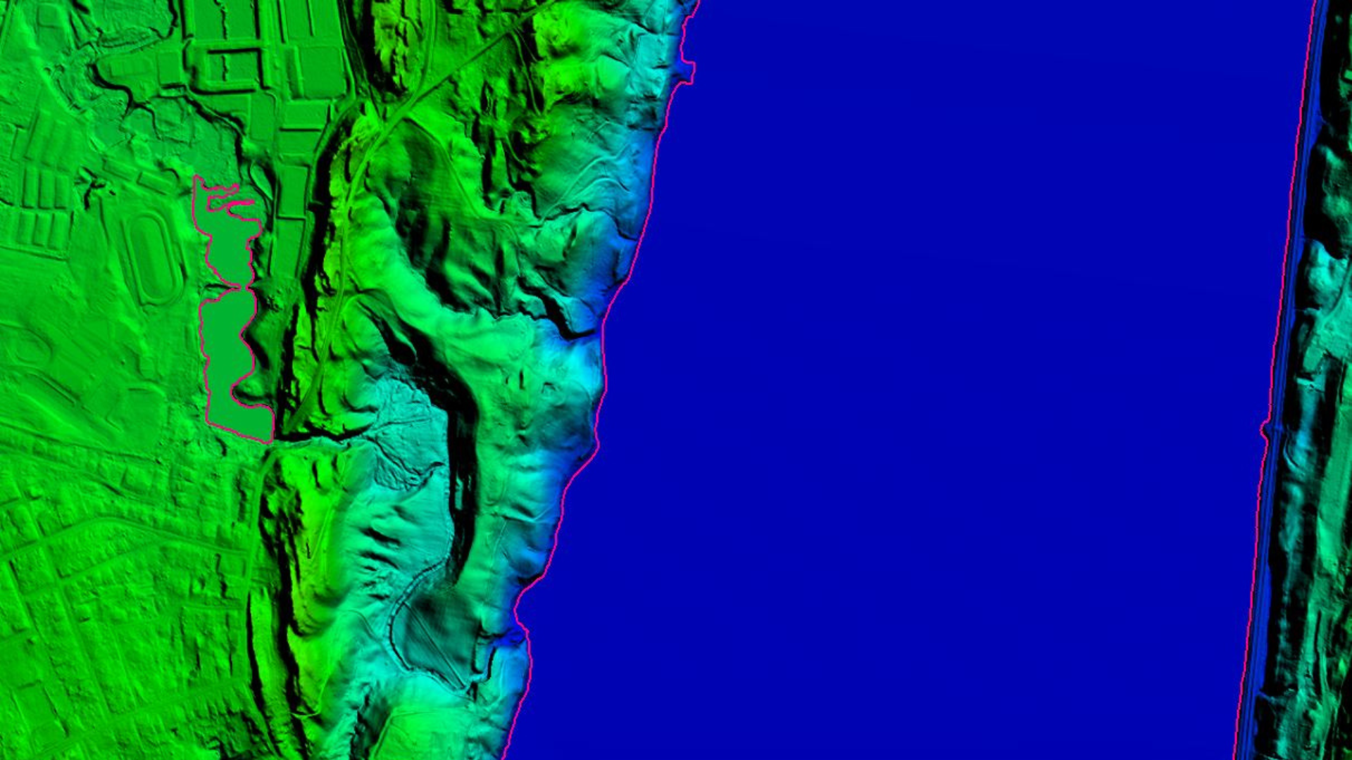
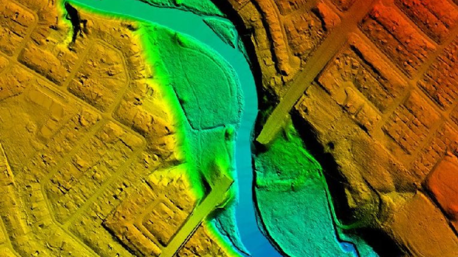
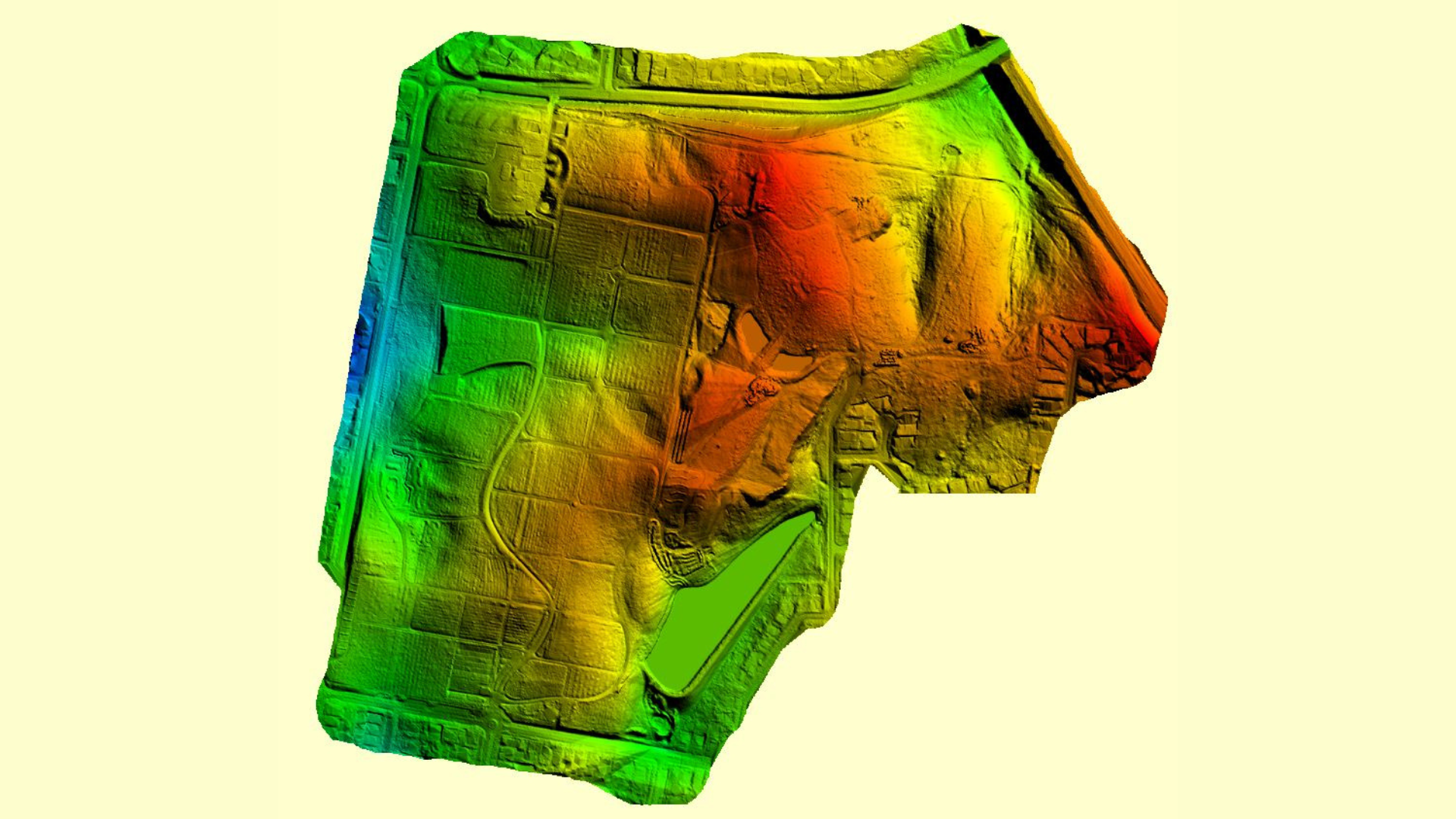
Hydro flattened DEM and Contour Generation.
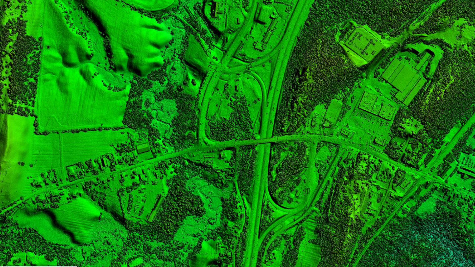
DTM and DSM Generation.
Break lines water body
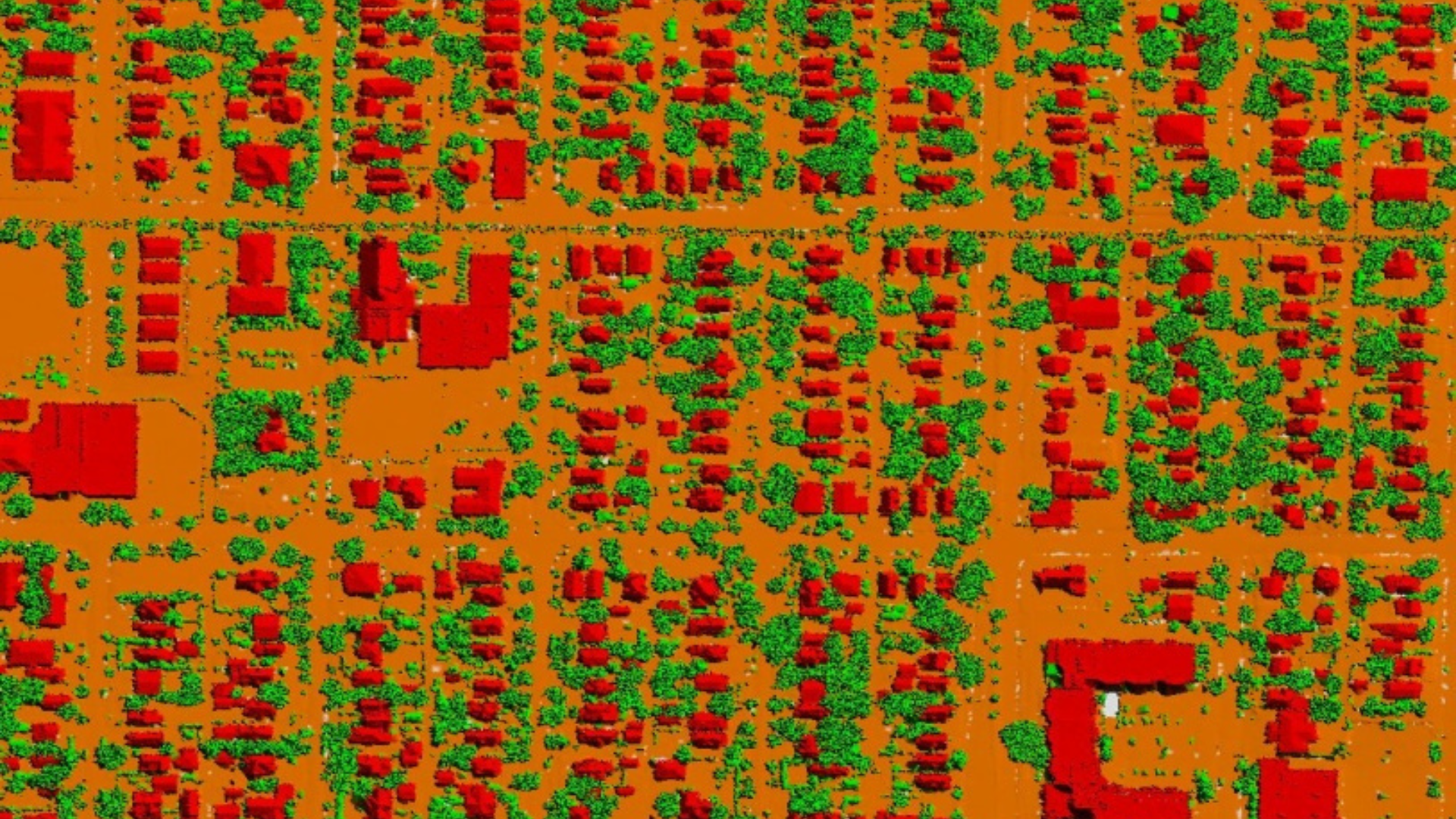
Buildings Classification Examples
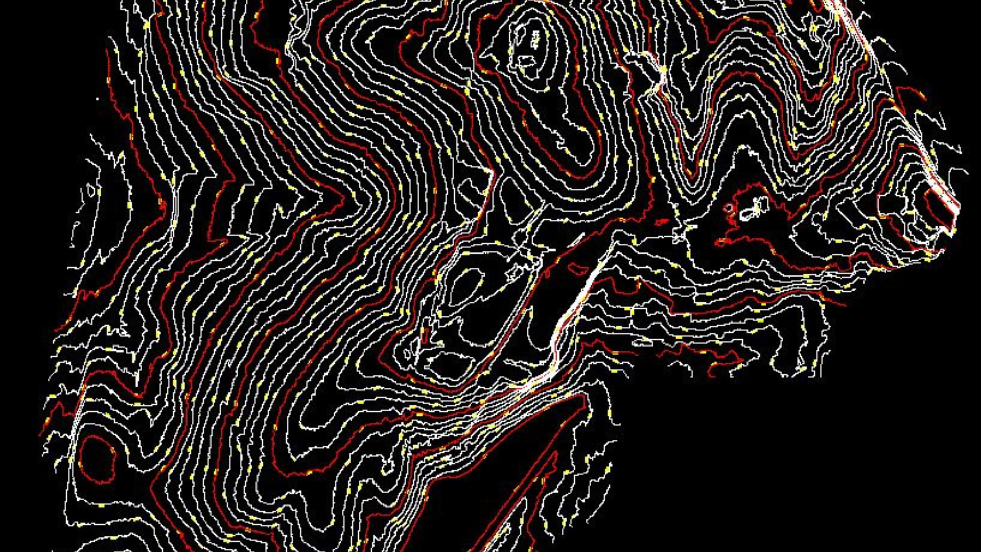
Contour Generation
Meaning of contour an outline especially of a curving or irregular figure : shape. the sleek contours of the car. The map shows the contour of the coastline. also : the line representing this outline.
function of two variables is a curve along which the function has a constant value, so that the curve joins points of equal value. It is a plane section of the three-dimensional graph of the function displaystyle f(x,y) parallel to the displaystyle (x,y)-plane. More generally, a contour line for a function of two variables is a curve connecting points where the function has the same particular value.
The gradient of the function is always perpendicular to the contour lines. When the lines are close together the magnitude of the gradient is large: the variation is steep. A level set is a generalization of a contour line for functions of any number of variables.
Digital Elevation/Terrain Modeling.
DTM
The Digital Terrain Model (DTM) product represents the elevation of the ground, while the Digital Surface Model (DSM) product represents the elevation of the tallest surfaces at that point. Imagine draping a sheet over the canopy of a forest, the Digital Elevation Model (DEM) contours with the heights of the trees where there are trees but the elevation of the ground when there is a clearing in the forest.
DSM
In LiDAR, DSM stands for Digital Surface Model. It is a type of elevation model that captures the natural and built features on the Earth's surface. DSMs are useful in 3D modeling for telecommunications, urban planning, and aviation.
DEM
Digital elevation models (DEM) Are one of many products that can be delivered from lidar data, though they can also be derived from other sources. DEM's are digital representations of the earths topographic surface. They are bare-earth product because they do not include surface features like buildings and vegetation. A high-resolution DEM can be delivered from lidar point cloud data by stripping away the surface features and sample of ground elevation in uniform increments to produce a bare earth model.

